July 2025 Arctic Sea Ice Update
Low extent on the Atlantic side, high on the Pacific side

Sea ice extent as of July 15 for the Arctic overall is the sixth lowest of record in both the National Snow and Ice Data Center (NSIDC) and Japanese Aerospace Exploration Agency (JAXA) data sets. This ranking is up a little bit from the second half of June, when ice extent was at or close to the lowest in the 47-year satellite record.
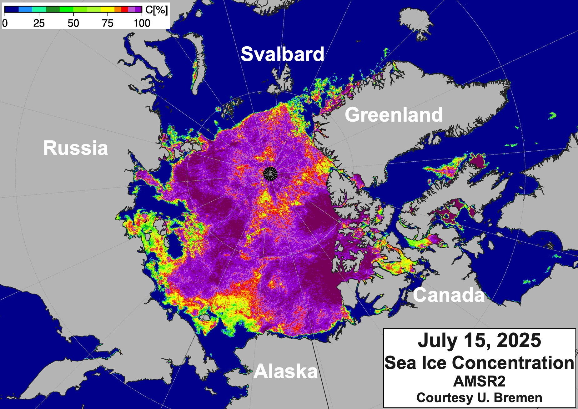
AMSR2 sea ice concentration is shown in figure 1. Ice has largely cleared around Svalbard and Franz Josef Land in the Atlantic sector. In this region, the pack ice edge is at about 82°N, roughly 900km (550 miles) from the North Pole. On the Pacific side, high concentration ice remains near the Alaska and Northwest Territories coasts, while the ice pack is generally more open north of the northeast Russian coast.
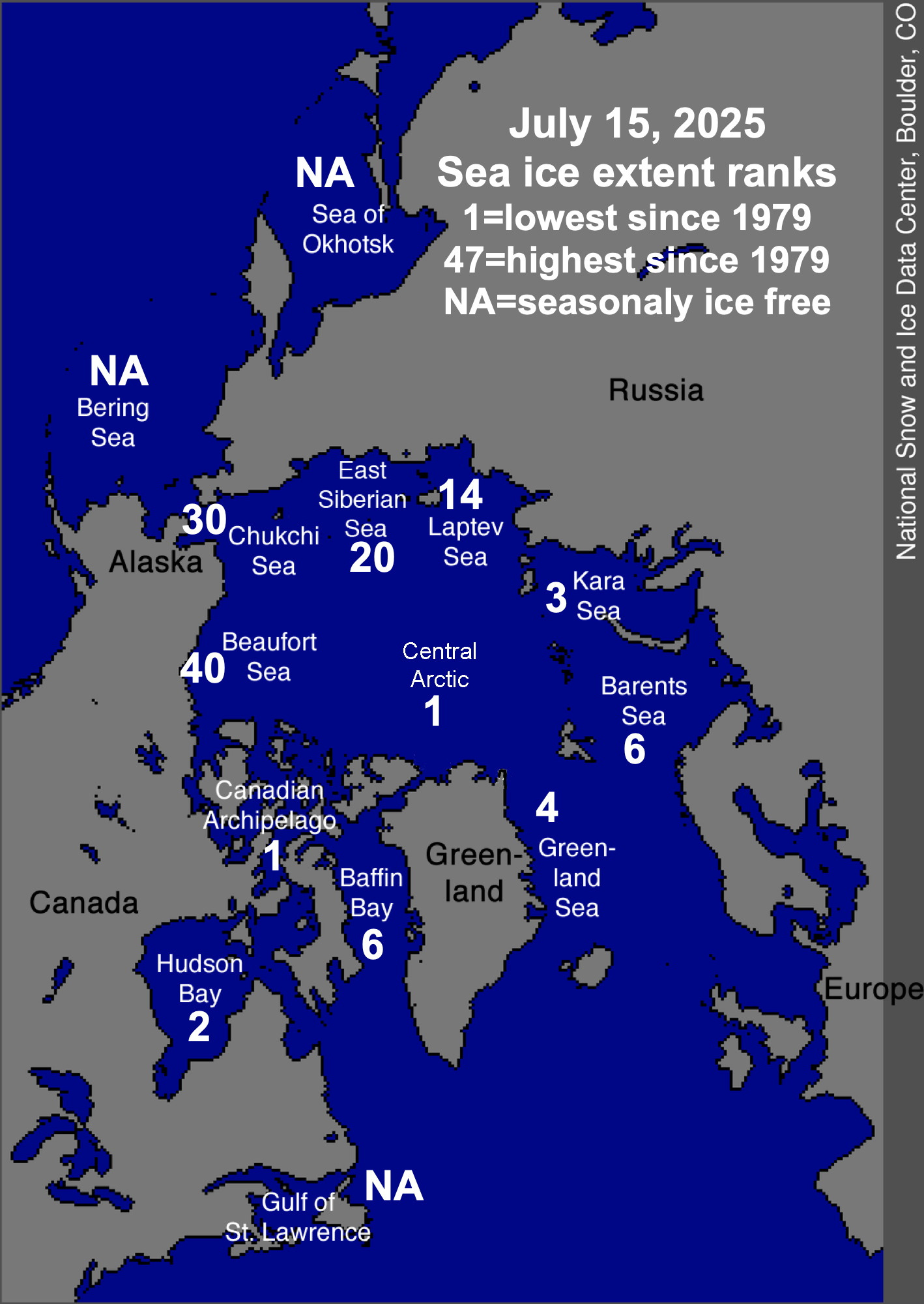
As happens more often than not in summer, there is a significant geographic split in where the sea ice extent is high or low relative to the recent past. Figure 2 shows the rank of the July 15 sea ice extent in the regional seas based on the NSIDC analysis. The Chukchi and Beaufort Seas really stand out for high ice extent, though the Chukchi Sea extent is slight lower than the past two years in mid-July.
Beaufort Sea ice extent
Ice extent in the Beaufort Sea is unexpectedly high, with only about two percent of the basin having open water. As shown in fig. 3, not only is the July 15 sea ice extent 25 percent higher than last year on this date, it’s the highest for this point in the season since 2006 and is higher than was typical for mid-July in the 1980s.

Winds and storminess have not been particularly unusual so far this summer over the Beaufort Sea. What is unusual, as seen in fig. 4, is a belt of multi-year ice not very far north of the Alaska coast that has drifted southwest in the Beaufort Sea gyre from the Canadian high Arctic. In recent years, older sea ice in the Beaufort Sea has tended to be farther offshore in mid-summer. Because multi-year sea ice is invariability thicker and fresher than first year ice, it takes significantly more energy to melt old ice compared to first year ice.

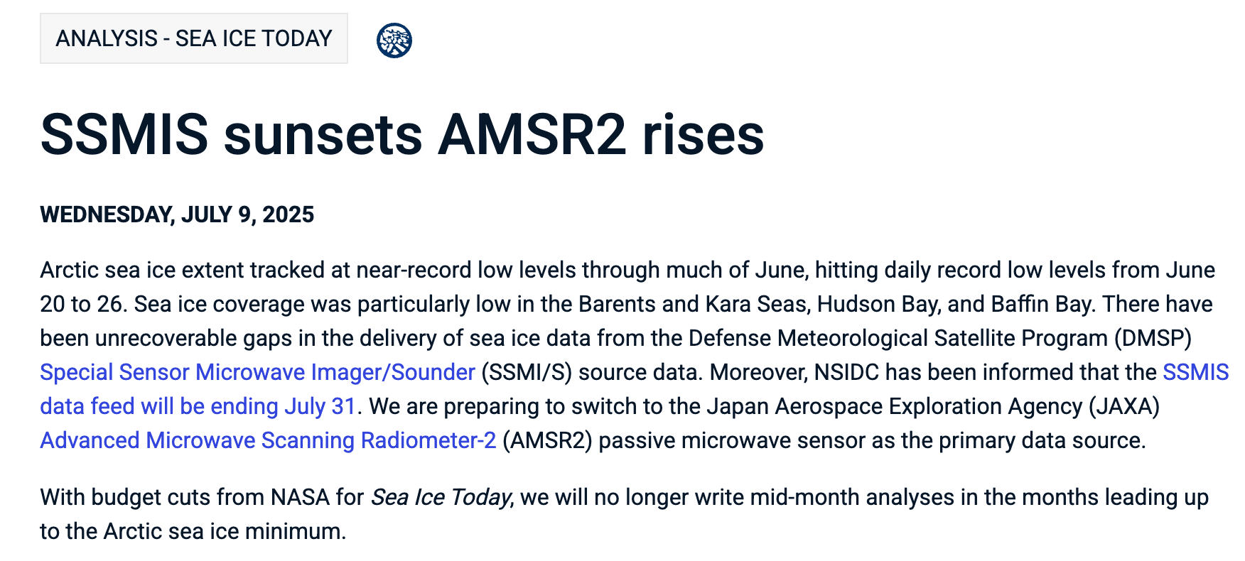
Update on sea ice data availability
The expected end of the SSMIS passive microwave data is July 31. As of July 1, EUMETSAT switched to AMSR2 data as input to the OSI SAF sea ice products. NSIDC is working towards that. There may be significant delays in the routine availability of the regional sea ice extent data. The July 9, 2025 statement from NSIDC is shown below.